First 2025 Atlantic Hurricane Barrels Toward Caribbean, Forecasters Warn Of Rapid Intensification

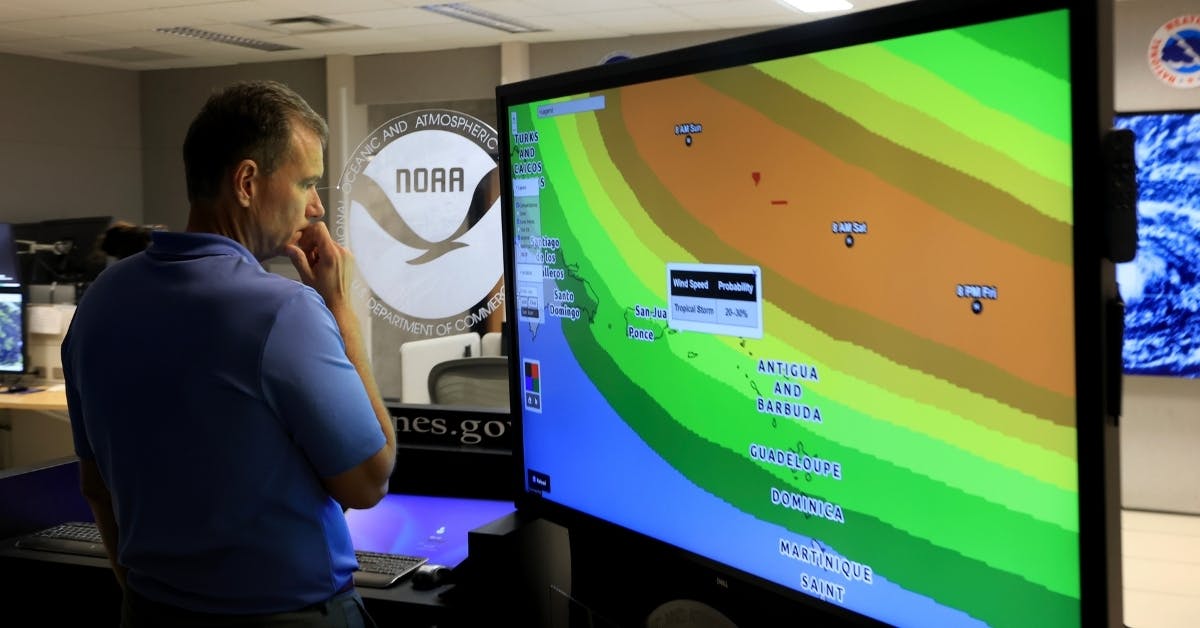
Tropical Storm Erin intensified to become the first Atlantic hurricane of 2025, with Caribbean residents bracing for what forecasters warn could become a dangerous Category 3 storm as early as Sunday.
Live Your Best Retirement
Fun • Funds • Fitness • Freedom
The National Hurricane Center confirmed Hurricane Erin reached sustained winds of 75 mph Friday morning, with the storm currently located approximately 460 miles east of the nearest Caribbean islands, NBC News reported.
Hurricane #Erin Advisory 17: Erin Becomes the First Hurricane of the 2025 Season. Expected to Pass Near Or North of the Leeward Islands On Saturday. https://t.co/tW4KeGdBFb
— National Hurricane Center (@NHC_Atlantic) August 15, 2025
According to the Weather Channel, next week, “Erin is expected to pass between North Carolina and Bermuda,” with several northern Caribbean islands likely impacted, and forecasters are noting there remains some uncertainty regarding the hurricane’s impact on the U.S. East Coast.
“Erin is turning toward the west-northwest as it strengthens. This path will take Erin toward progressively warmer waters, which, in tandem with low wind shear, should allow Erin to become a major hurricane this weekend as it makes a close brush, or travels just north of the Caribbean islands,” The Weather Channel added.
Given its current trajectory through warm water in the open ocean, the National Hurricane Center projects Hurricane Erin reaching Category 4 status as early as next week.
JUST IN: Erin has been upgraded to a Category 1 Hurricane with maximum sustained winds of 75 mph.
It is the first hurricane of the 2025 Atlantic season.
Erin is forecast to become a Major Hurricane late weekend/early next week, topping out as a Category 4. pic.twitter.com/FeSdBfnHWd
— MyRadar Weather (@MyRadarWX) August 15, 2025
Tropical Storm Watches have been issued for several Caribbean islands, including Anguilla, Barbuda, St. Barthelemy, St. Martin, Saba, St. Eustatius, and Sint Maarten, meaning tropical storm conditions are possible within the next 48 hours, Fox Weather reported.
The system is forecast to dump between two and four inches of rain in its early stages, with isolated areas potentially receiving up to six inches, potentially triggering flash/urban flooding, landslides, and mudslides across the northernmost Leeward Islands, the U.S. and British Virgin Islands, and southern and eastern Puerto Rico, per NBC.
End of Summer Sale – Get 40% off New DailyWire+ Annual Memberships
The disturbance that eventually became Hurricane Erin caused significant destruction in the African Cabo Verde islands earlier this week. Images from the island of São Vicente showed extensive flooding with muddy water rushing through streets and damaging homes, killing multiple people, per Fox Weather.
Emergency management officials in Puerto Rico and the U.S. Virgin Islands are urging residents to review hurricane plans and secure emergency supplies despite forecasts showing the storm’s center remaining offshore.
Originally Published at Daily Wire, Daily Signal, or The Blaze
What's Your Reaction?
 Like
0
 Dislike
0
 Love
0
 Funny
0
 Angry
0
 Sad
0
Sad
0
 Wow
0
Wow
0


