

The Camp Mystic Flood Tragedy Exposed a Systematic Failure

Premium domains for sale
Freedom Is Back In Style
The New York Post reported on Sept. 23 that Texas Rangers are investigating whether crimes, including manslaughter, were committed in the deaths at Camp Mystic during the July 2025 floods. Investigators are seeking evidence; no finding of criminal guilt has been made. Whatever that inquiry concludes, it raises broader questions: Why do we keep building and sleeping on floodplains? And why do federal maps and subsidized insurance continue to make the danger easy to overlook?
Freedom Is Back
In Style
Premium domains for sale
After the floods killed more than 130 people—many of them children at Camp Mystic—the Federal Emergency Management Agency said its flood maps are “snapshots in time” that establish minimum floodplain standards and identify areas of highest insurance risk. They are not predictions of where flooding will occur.
That statement may be technically accurate. From my seat as the senior political appointee running FEMA at the time of the floods, I found it profoundly unsatisfying. I called it bureaucratic obfuscation. I wanted to know how so many people had ended up in a river’s path.
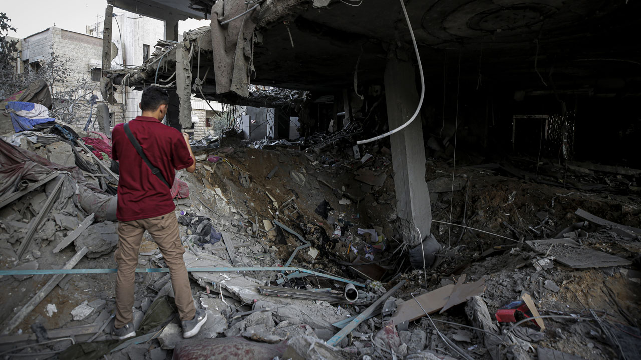
There was no single cause. In the early hours of July 4, 2025, a storm stalled over the Texas Hill Country. Rain rushed down limestone hills into creeks and rivers. The Guadalupe surged. Water swept away structures, vehicles, and people. No flood map could stop that storm.
But the storm alone does not explain the death toll. Questions about forecasts, warnings, and evacuation plans deserve rigorous answers, including in the Camp Mystic investigation. I will not prejudge its findings.
Running FEMA taught me how frequently flash flood warnings are issued across the country. When warnings are common and catastrophe is rare, people can grow accustomed to the alarms. A warning is useful only if it reaches people in time and they can act on it. In Texas, the worst flooding struck while many were asleep. Evacuation plans must be prepared and practiced before that moment arrives.
There is an even deeper problem: People occupied the floodplain.
Rivers are beautiful, and waterfront property is valuable. Rivers in hilly terrain can also turn deadly with frightening speed. In 1987, flooding near the Guadalupe killed 10 young campers. Other American communities have learned the same lesson at terrible cost.
Two federal programs help perpetuate the risk: the National Flood Insurance Program and floodplain mapping.
Congress created the National Flood Insurance Program to provide insurance and encourage prudent local management of floodplain development. Yet federal insurance also makes it easier to maintain and build property in risky places. When floods destroy those properties, taxpayers bear much of the cost.
Flood maps compound the problem when people mistake an insurance boundary for a safety boundary. Lines on a map can influence premiums, development decisions, and the public’s sense of danger. They cannot tell a family that a particular building will be safe when an extraordinary storm arrives.
At Camp Mystic, FEMA removed dozens of buildings from the mapped 100-year floodplain after appeals in 2013, 2019, and 2020. Reporting by NPR and ABC News after the disaster also showed that official maps did not capture the full flash flood risk. A building’s position outside a mapped zone did not move it away from the river.
The underlying issues here are present far beyond Texas. When a map changes, the underlying terrain does not. When insurance becomes available or cheaper, the water does not become less powerful. Yet both can make continued development seem reasonable.
Local officials approve land use. Property owners make choices. Congress sets the terms of federal insurance. FEMA administers the program and produces maps. Responsibility is spread so widely that each institution can point elsewhere when disaster strikes.
That diffusion of responsibility cannot become an excuse for inaction. Congress should examine whether flood insurance encourages new development in dangerous areas. FEMA should make the limits of its maps unmistakable and improve how it communicates risks the maps do not show. State and local officials should treat historical floods and flash flood potential as real hazards, even when a federal boundary suggests otherwise.
None of this absolves anyone whose decisions may have contributed to deaths at Camp Mystic—the Rangers’ investigation should follow the evidence wherever it leads. It also should not distract us from the conditions that placed people in harm’s way in the first place.
Storms will stall over hill country again. Forecasts and warnings will improve, but we can never make them perfect. We can, however, stop treating floodplain maps as promises of safety and taxpayer-backed insurance as permission to keep building in a river’s path.
We publish a variety of perspectives. Nothing written here is to be construed as representing the views of the Daily Signal.
More from this network:
Domains for Sale · GOTPeople.org · TheDSAPlatform · The Truth About Socialism
What's Your Reaction?
 Like
0
Like
0
 Dislike
0
Dislike
0
 Love
0
Love
0
 Funny
0
Funny
0
 Wow
0
Wow
0
 Sad
0
Sad
0
 Angry
0
Angry
0

I am just an average American. My teen years were in the late 70s and I participated in all that that decade offered. Started working young, too young. Then I joined the Army before I graduated High School. I spent 25 years in, mostly in Infantry units. Since then I've worked in information technology positions all at small family owned companies. At this rate I'll never be a tech millionaire. When I was young I rode horses as much as I could. I do believe I should have been a cowboy. I'm getting in the saddle again by taking riding lessons and see where it goes.
Premium domains for sale


















Comments (0)